
red pike
Lake District
We wanted to celebrate our anniversary in style with a good camping trip and few days sightseeing so we went to west Lake District. We camped at Ravenglass Camping and Caravan Club site, a lovely, quiet campsite with clean facilities and very close to Ravenglass and other attractions nearby.
On our first day, we pitched our tent and drove to Buttermere for a great adventure, wild camping on the Red Pike.
With direct ascend from Buttermere, Red Pike (755m) high is one of the popular fells in the High Stile range in the western English Lake District.
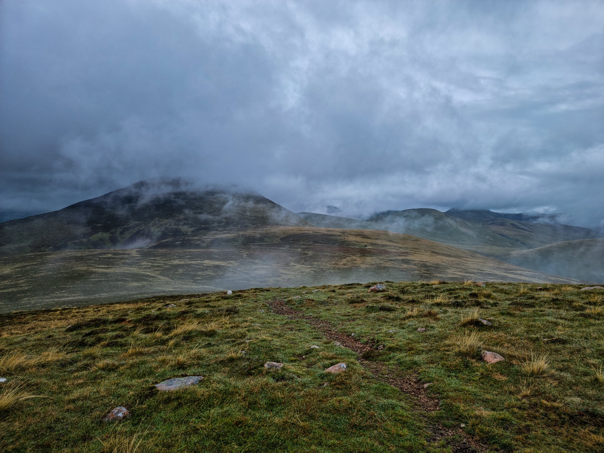
The weather was not very nice, foggy and rainy day but I was glad to finally seeing the beautiful landscape around Buttermere.
We found a car park near St James church, on the left from B5289 with few car park spaces and free of charge.
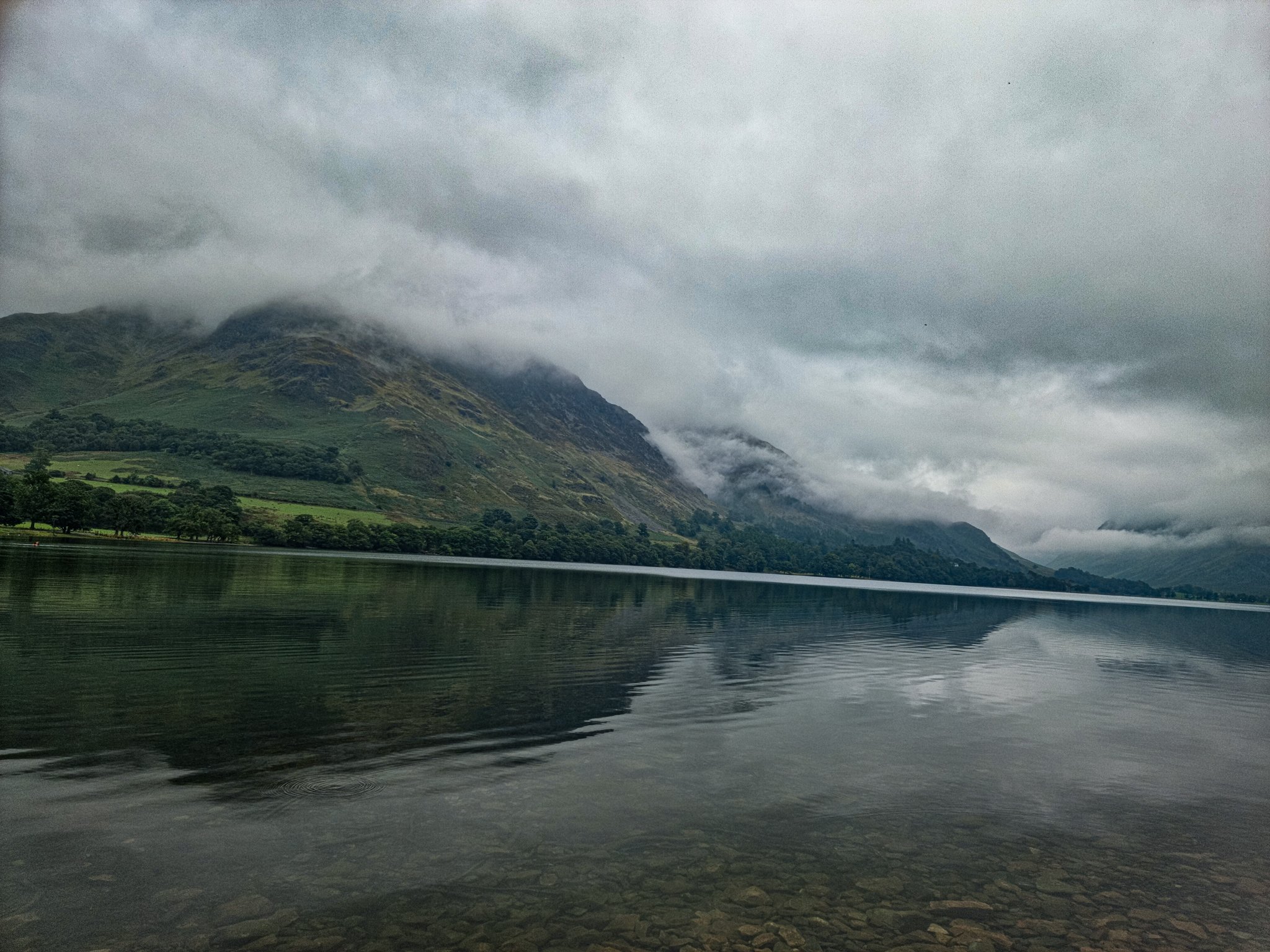
We started our route to Red Pike, walking towards the hotels and café down on the street. At the Croft House Farm Cafe, turned left and we headed to Buttermere lake where the water was so still and clear I was tempted to go for a deep but we were trying to reach the summit before the sunset so we carried on the left side of the river Sourmilk Gill.
Even though there are only 2 miles to the Red Pike from the lake, the ascend is very steep and took longer then expected.
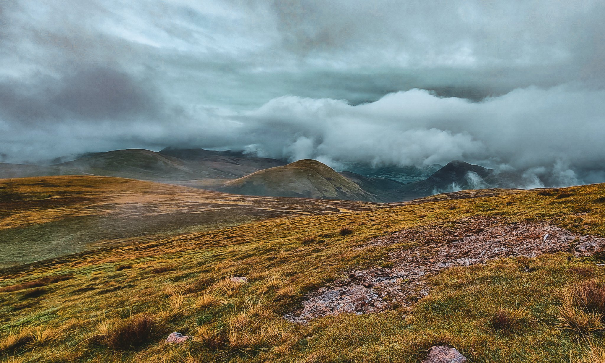
Once you reached above woodlands, the views towards Buttermere and the lake are spectacular. With the fog and clouds moving all the time we were trying to capture a clear view but we’ve enjoyed every second of it.
Just before the sunset we have reached the Bleaberry Tarn where we stopped to get some water and take a breath before we ascend the last part of the route to the Red Pike.
When we got to the top, the 360 degree view is magnificent, with views towards Scafell, Great Gable and Pillar and a great spot to enjoy the sunset.
After a good night sleep, the next day we started early with breakfast, packed our backpacks, checked the area to leave no trace and continued the next leg of the route towards Scale Force waterfall.

The path is rocky climbing to Red Pike and the rest of the path is a combination of rocks and grass.
The second day route is around 7.2 miles and a combination of up and down the hills with fews peaks on the route Starling Dodd (636m), Great Borne (616m). After we reached Great Borne, we started to descend and the path to be more boggy. When we got to the cross paths, we took right by the Floutern Tarn ( another good spot to take some water with the filter).


After a couple of hours walking with the backpack we started to feel tired but this feeling has changed completely when we’ve seen the Scale Force waterfall.
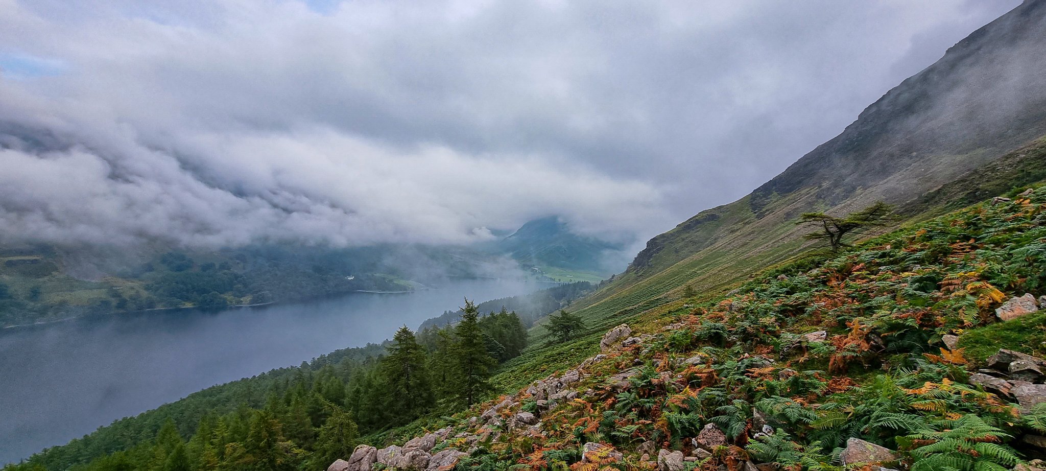
Walking parallel with Crummock Water lake, you can hear it from the distance but the waterfall is hidden away in a deep tree-lined gorge and can be easily missed. The picture doesn’t do it justice and I believe it is even more impressive after few rainy days.
The highest waterfall in the Lake District, Scale Force has a single drop of 21m(170 ft), and two others of about 6m(20 ft).
Watching the waterfall gave us a boost of energy to continue our last part of the route towards the car park. Check the video below, with few captures from Scale Force waterfall and the hike to Red Pike.
The entire route is around 9.4 miles but splitting the route over the two days with wild camping was the perfect day out in Buttermere.
We finished our hike with a great lunch and delicious homemade ice cream at the Syke Farm Tea Room. I have water in my mouth just thinking about the food there so I definitely recommend stopping by and enjoy the steak and ale pie and ice cream for desert.